
By Danielle Tiu
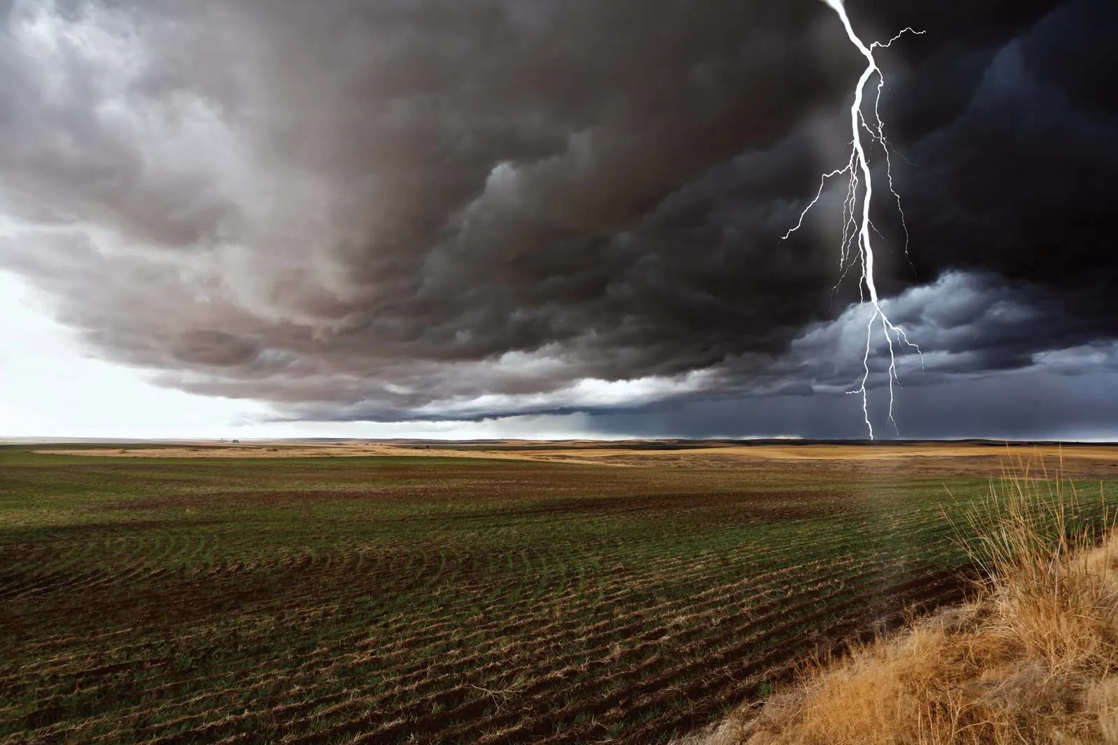
MANILA – While most parts of the Philippines are expected to enjoy fair weather conditions, PAGASA warned Saturday that some areas in northern Luzon and Mindanao may continue to experience rains and thunderstorms.
According to the weather bureau, the frontal system affecting extreme northern Luzon will bring cloudy skies and scattered rains over Batanes and the Babuyan Islands.
Heavy rainfall may trigger flash floods and landslides, especially in areas prone to soil erosion and flooding.
The intertropical convergence zone is also affecting southern Mindanao, bringing unstable weather conditions to several provinces.
Areas Affected by ITCZ
Zamboanga Peninsula
Sultan Kudarat
Sarangani
Lanao del Sur
Maguindanao del Norte
Basilan
Tawi-Tawi
PAGASA advised residents to monitor weather updates as moderate to heavy rains may persist.
Elsewhere in the country, including Metro Manila, localized thunderstorms may bring isolated rain showers despite generally fair weather.
The agency also reported that no low-pressure area is currently inside or near the Philippine Area of Responsibility after Tropical Storm Caloy dissipated.
Northern Luzon will continue to experience moderate winds and coastal waters, while the rest of the country will have light to moderate winds with slight to moderate sea conditions.
Highest Forecast Heat Indices
Dipolog, Zamboanga del Norte – 46°C
Coron, Palawan – 45°C
Sangley Point, Cavite – 45°C
Guiuan, Eastern Samar – 45°C
Calapan, Oriental Mindoro – 45°C
Other High Heat Areas
Tarlac City – 44°C
Occidental Mindoro – 44°C
Iloilo – 44°C
Catanduanes – 44°C
Leyte – 44°C
Pangasinan – 43°C
Laguna – 43°C
Quezon City – 42°C